Edwardes and Coburg Lakes
Reservoir to Rushall, Distance 16km
Region: Northern Melbourne
Written up by: U3A Yarra City OYB
Last ridden: 24 May 2019
Cafes | Terrain | Ride Details | Variations | Maps

Edwardes Lake
Overview
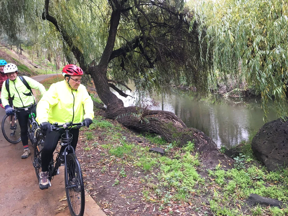
One of the lesser-known gems of northern Melbourne is Edwardes Lake. This ride is a great way to explore this beautiful lake and the nearby serene Edgar Creek wetlands, as well as enjoying the fabulous Merri Creek Trail.
The route goes from Reservoir Station to Rushall Station. It first takes you to the beautiful setting of Edwardes Lake within Edwardes Park. Edgars Creek feeds the lake, and as you ride along this creek, take your time and look for the water birds that abound.
A short stretch on the road brings you to Merri Creek where the ride takes you to Coburg Lake. This very pretty lake was originally an old bluestone quarry that provided stone for the nearby former Pentridge Prison.
Riding on, look for information panels about the local flora and fauna, and descriptions of places of Aboriginal significance. John Batman signed his treaty with the indigenous population trading blankets for land in 1835 on the banks of this creek.
Eventually you will reach CERES environmental park, a not-for-profit, sustainability centre with Melbourne’s only remaining urban farm, located on 4.5 hectares on the creek, before finally reaching Rushall Station.
You can leave the route and catch the train at various points on the Upfield line if you wish to do a shorter ride (see Variations).
Cafes
Toilets are near the two lakes.
There are cafes near Reservoir Station.
Or you can take a side trip via Harding Street to Sydney Road where there are many cafes. Harding Street is just after a long curve that occurs soon after passing Bell Street and just before a hard left turn onto a bridge across the creek.
Alternatively there is an excellent café at the Islamic Museum a bit further south where you will see bike racks and a gate leading to steps down into the café.
The café at CERES Environmental Park just before the end of the ride is well worth a visit.
Terrain
The ride is along bike paths except for two short stretches on roads. It is mainly flat or gently undulating. Distance 17.3 km.
The Merri Creek North Coburg
Ride Details
Reservoir Station to Edwardes Park (1.0km)
The ride starts on the west side of Reservoir Station.
Cross the road to pick up Edwardes Street and ride along this street to Spratling Street.
Cross Edwardes Street and enter Edwardes Park.
Edwardes Park to Merri Creek (2.2km)Take the first turn to the left and head west almost parallel to Edwardes Street.
Just after you pass a block of toilets, turn left. You are now on a path going around the lake which should be on your right.
Follow the path in a big loop around the lake, until you reach a T-intersection. There is a footbridge on your right.
Turn left to follow the path north away from the lake past a scout hall to Leamington Street.
Cross Leamington Street to ride along Edgars Creek Wetlands and Edgars Creek.
Turn left at the next road, Broadhurst Street.
Ride along Broadhurst Street until it finishes at Merri Creek.
Merri Creek to St Georges Road (11.9km)Take the footbridge across Merri Creek and make a hard left to get onto Merri Creek Trail.
Follow Merri Creek Trail for 11.9 km until you cross under St Georges Rd. (The key to not getting lost is to follow the creek as closely as possible.)
St Georges Road to Rushall Station (1.1km)At this point the path turns right and deposits you on St Georges Rd. It’s a short, steep path, so engage low gears. Turn right and ride on the shared footpath.
Immediately after crossing the bridge over the creek, turn right and then take the next right turn.
Follow the path, crossing the creek to reach the junction with the Capital City Trail.
Turn left and follow Capital City Trail to Rushall Station.
Variations
Extend this ride
by combining with The Old Pipeline in one of two ways.
To make a circuit ride,start at Rushall Station and ride to Reservoir Station by doing The Old Pipeline steps 12 to 20 in reverse.
The Old Pipeline: Start at Thomastown and ride to Reservoir Station to the start of this ride by doing The Old Pipeline steps 1 to 11.
starting at Alphington Station and doing Bundoora Park and the Darebin Creek in reverse, or vice versa.
Shorten the ride
by cutting across to the Upfield railway line and catching a train from there. Two possible places to do this are
Coburg Lake:
At Ride Detail 10. above continue straight ahead instead of crossing to the east side of the creek.
Continue straight ahead into Rose Grove.
Turn right into Gaffney Street.
Just after crossing Sydney Road, Batman Station will be on your right.
Harding Street (one of our recommended coffee spots!): Just after passing the CERES (aka Joe's) Market Garden, on a long curve soon after passing Bell Street, and just before a hard left turn onto a footbridge across the creek, you will find Harding Street.
Exit the path and ride along Harding Street, crossing first Nicholson Street and then Sydney Road.
Just before the railway line turn right onto the Upfield Trail.
Coburg Station will be on your left.
Maps
Melway or Melway Online: Starts at map reference 43 G5
Google:
Please click on box with arrow at top left corner to see the map legend.
Please click on box at top right corner to see the map in Google Maps. You must be logged into Google Maps to do this.
